Visible Camera Add-On


Our visible camera add-on is the perfect complement to thermal drone surveys, especially for properties populated with exotic game species or for landowners who demand the most detailed wildlife insights available. Whether you're managing a high-fence property, exotic ranch, or simply want more visual confirmation of your native game populations, this add-on delivers unmatched clarity.
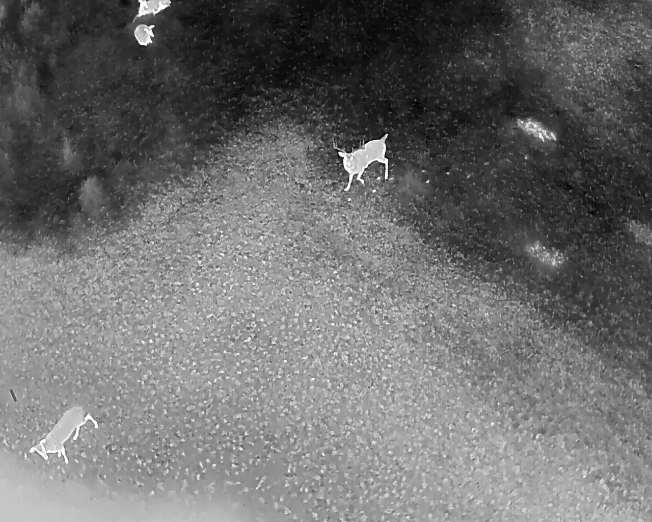
When an animal is located using the thermal camera, our drone pilots are able to instantly switch to a side-by-side view, pulling up the drone’s visible light camera to observe the animal in real time. With 56x zoom capability, this high-powered optical camera allows us to zoom in and capture crisp, detailed images and videos of the animal. This camera is able to provide a clear view of antler points, body condition, coloration, and even species-specific features not visible through thermal imaging.
This add-on is especially valuable for identifying exotic species such as axis deer, fallow deer, blackbuck antelope, aoudad, or other non-native game that may not show distinct thermal characteristics. By combining both thermal and visible light footage, we provide a more complete and accurate understanding of your wildlife population.
Following the flight, you will receive a detailed final report that includes both the initial and reviewed animal count, flight details, a map of the drone flight path, and 3–5 high-resolution thermal images highlighting notable bucks or unique animal activity. This report can be sent directly regional biologists to fulfill Texas Parks and Wildlife (TPWD) Managed Land Deer (MLD) Program survey requirements. It can also be provided to county appraisal districts as part of a 1-D-1 wildlife exemption.
For added value and transparency, we also record the entire flight and mail you a physical SD card containing the full video footage. This allows you to review the data at your own pace, share it with other lease members, or provide it to biologists or land managers for further analysis. All images and video from the visible camera are included in your final report and SD card, giving you a fully documented record of your survey.
Add the Visible Camera Add-On to your next aerial wildlife survey for unparalleled detail and confidence in your animal population data. View an example of a final report with the visible camera add-on below:

